// BBC UK NEWS — CRONACA
Rain to return this week with chance of thunderstorms and flooding
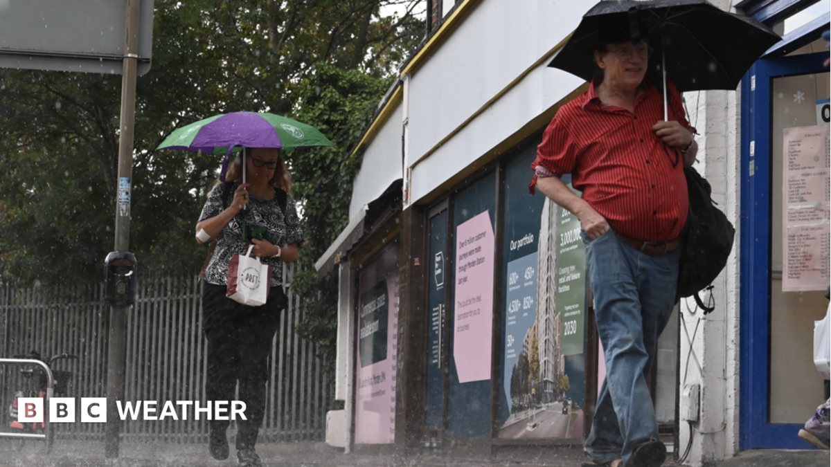
The weather is set to turn more unsettled this week as rain returns with a chance of thunderstorms and localised flooding.
Some places could see a return to showery conditions by Tuesday, but it is from Wednesday onwards that more widespread and persistent rain will arrive from the south.
The wet weather will be welcome for parched regions of the UK, but a lot more will be needed before drought conditions start to ease.
Temperatures will also be on the rise once more, as warmer air moving in could push midweek highs close to 30C (86F) in places.
While drier conditions will continue into Monday for most places, Tuesday will see low pressure arriving from the south-west. This will bring showery conditions for parts of southern England and south Wales.
By Wednesday, downpours will become more widespread across England, Wales and Northern Ireland, while Scotland is likely to remain mostly dry.
From later on Wednesday until Friday, the threat of torrential downpours with hail and thunderstorms will increase.
The areas most at risk are southern England and Wales, where heavy rain falling on dry and hard ground may bring the risk of localised flooding.
Wet weather is expected in most places at times between Tuesday and Friday although amounts will vary considerably due to the showery nature of the rain.
Although this week's rainfall is welcome and will go some way to help river levels and soil moisture content, it will take time for catchments and reservoirs to fully recover.