// SPACE.COM — SPAZIO & SCIENZA
NASA satellites ace world's 1st 'lost-in-space' GPS-free navigation experiment
The results "can have far-reaching implications for on-orbit space-traffic monitoring, collision avoidance and alternative navigation."
When you purchase through links on our site, we may earn an affiliate commission. Here’s how it works.
No GPS available in space? A satellite experiment may have a solution for that.
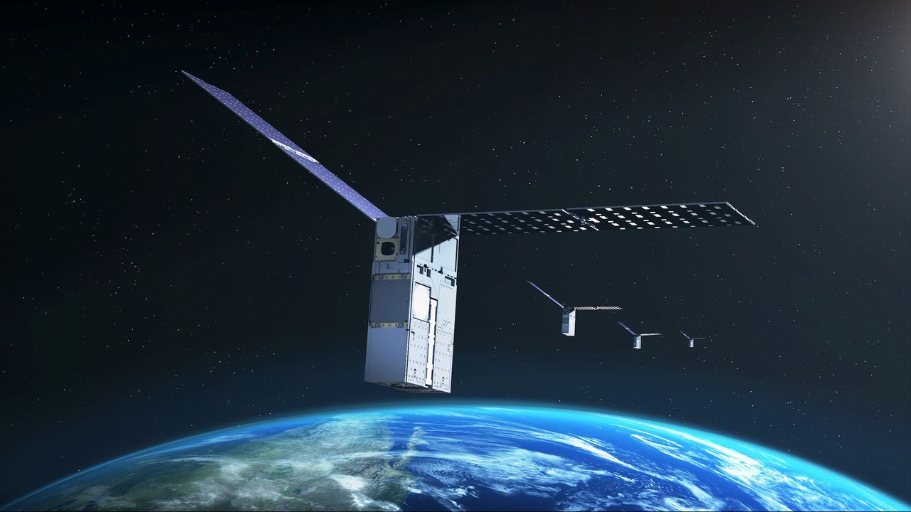
NASA's Starling mission — made up of a swarm of four cubesats in low Earth orbit (LEO) — is testing out navigation by using other satellites as moving landmarks. The hope is that this tech will allow future missions to navigate if GPS is not available.
The three-year-old tech demo will be extended beyond its previous expiration date this year until at least 2028, NASA announced on Monday (Aug. 17). The aim is to get the most out of the onboard experiment, a collaboration with industry partner EraDrive called FALCON (short for "Fast Autonomous Lost-in-space Catalog-based Optical Navigation").
"As NASA prepares for more missions beyond Earth's orbit, technologies like FALCON can support lunar satellite swarms, distributed science missions and human exploration," NASA officials said in Monday's statement.
While NASA's applications are civilian, alternative GPS solutions are also being investigated by the U.S. Department of Defense (DoD) out of concern that the limited number of GPS satellites could be vulnerable to adversaries. Earlier this year, for example, Space Force entities SpaceWERX and Space Systems Command jointly launched an initiative aiming for new ideas for "positioning, navigation and timing" (PNT) capabilities in space.
The aim of FALCON, however, is to deal with sheer distance. While satellites in Earth orbit have ample access to purpose-built navigational markers such as GPS, that access rapidly thins out as missions go farther afield. And this isn't just an abstract concern; NASA aims to send astronauts to the surface of the moon again as soon as 2028 on the Artemis IV mission, as part of a larger effort to build a moon base.
Industry and the military are also very interested in the moon and the area around it, known as cislunar space — and how best to navigate in the new environment. The moon's orbit also introduces complications to navigation; in 2025, for example, Canada's Outer Space Institute reported that "mass concentrations," or mascons, pull down on orbiting satellites and may affect their pathway, in some cases even inducing crashes into the lunar surface.
But before testing at the moon, NASA wants to learn more closer to home. It partnered with EraDrive, an autonomous spacecraft navigation company that originated with a group at Stanford University, which provided flight software and algorithms for FALCON. The experiment uses data from Starling's cameras, as well as a catalog on the spacecraft that charts thousands of known satellites and space objects around it.