// NATURE NEWS — SPAZIO & SCIENZA
Satellite images before Nepal disaster showed warning signs
Search author on:
PubMed
Google Scholar
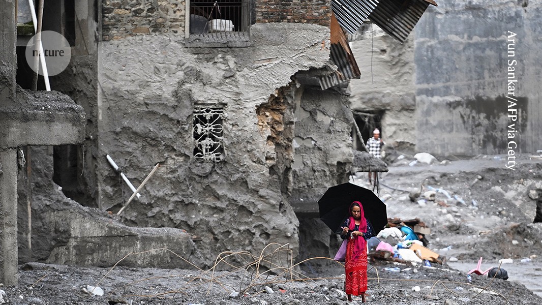
The flash flood destroyed many buildings and left villages covered in mud and debris.Credit: Arun Sankar/AFP via Getty
The high-altitude collapse of rock and ice that triggered a catastrophic flash flood near the Nepal–Tibet border on 26 August has so far claimed more than 1,000 lives. More than 4,000 people remain missing.
Manoochehr Shirzaei, a geophysicist at Virginia Tech in Blackburg, says that satellite images from just days before the disaster suggest that a section of the glacier and the rocks it sat on top of were accelerating in the weeks before the collapse, a concerning sign of an unstable system. The precise sequence of events remains unclear. The disaster might have begun with a massive rockslide that dragged part of the glacier downhill, or the glacier might have failed first causing rocks to destabilize into a landslide.
As Shirzaei tells Nature, such an event is difficult to predict using existing monitoring techniques. What is needed are systems that can detect glacier and rock collapses that pose cascade risks and can result in landslides and downstream flooding, he says.
It was particularly difficult to anticipate because it seems to have originated from the sudden failure of a high-elevation glacier–rock system, rather than a more routinely monitored trigger, such as extreme rainfall or the gradual rise of water in a known glacial lake. These high-mountain areas are remote, difficult to access and generally lack continuous monitoring with ground-based instrumentation.
Many glaciers and rock slopes move continuously without collapsing. Most existing monitoring systems are not designed to routinely examine thousands of glaciers and unstable mountain slopes for subtle changes in deformation.
The transboundary setting adds another challenge. The region where the cascade originated is close to, or across, the Nepal–Tibet border, so effective warning alerts also depend on the rapid sharing of observations and hazard information between countries.
We analysed radar data from the European Space Agency’s Sentinel-1 satellites that were acquired between 8 January and 18 August. The last observation was only seven days before the disaster.
We detected evidence that the glacier–rock system was slowly moving downhill near the apparent collapse area, with velocities reaching roughly 10 millimetres per month. Glaciers can move at speeds of roughly 10–200 metres per year, so a slope moving steadily at 10 mm a month for years might not seem particularly alarming.