// BBC UK NEWS — CRONACA
Yellow warnings in force as rain and thunderstorms hit parts of UK
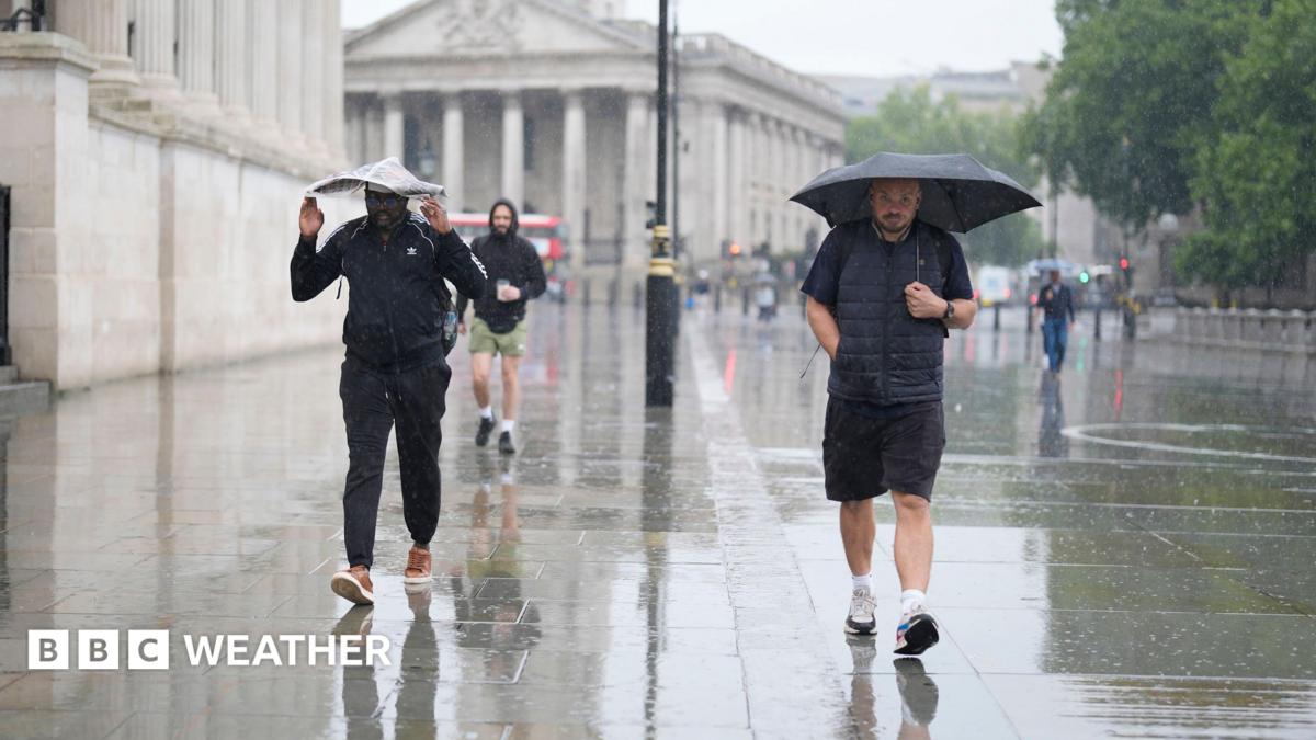
Downpours and thunderstorms will continue to bring the risk of flooding to parts of the UK on Wednesday.
A Met Office yellow warning for thunderstorms is valid from 03:00 until 22:00 BST, covering much of the Midlands, parts of northern, eastern and southern England, as well as the far east of Wales.
The rain could be heavy enough to bring flash flooding and travel disruption, with lightning and large hail posing additional hazards.
A further Met Office yellow warning has been issued for Thursday with more thunderstorms expected.
For some areas that have seen barely any rain so far this August, the next few days could bring the wettest weather in many weeks.
The Met Office yellow thunderstorm warning covers a large swathe of England and Wales.
A band of showers and thunderstorms will push northwards during Wednesday morning with sunny spells following from the south.
However, further scattered downpours and storms will spring up during the afternoon.
As many as 20-30mm (0.8-1.2in) of rain could fall in some locations within just an hour, and it is even possible that 40-50mm (1.6-2in) could accumulate over a few hours.
However, due to the hit-and-miss nature of showers, some places will miss the rain and weather apps may struggle to get the detail of the forecast correct.