// SPACE.COM — SPAZIO & SCIENZA
NASA's Artemis II moon launch tore a hole in Earth's upper atmosphere so huge it disrupted GPS signals
"It could have a strong impact not only on self-driving cars but also on drone positioning."
When you purchase through links on our site, we may earn an affiliate commission. Here’s how it works.
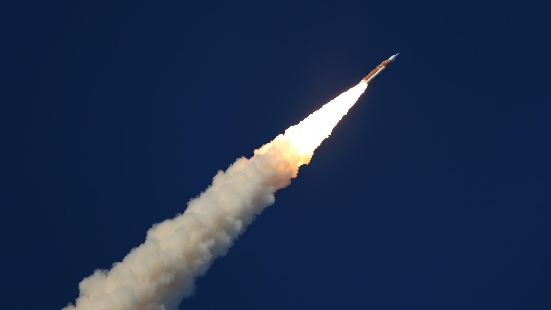
The launch of NASA's Artemis II mission in April 2026 caused significant disturbances in Earth's ionosphere that could have triggered temporary, localized errors in GPS positioning, a new study has found.
The study, by a team of researchers from National Cheng Kung University in Taiwan, analyzed data from high-precision networks of fixed, ground-based GPS receivers, used by U.S. scientific institutions to measure the minuscule motions of Earth's tectonic plates in the lead-up to earthquakes. By measuring how long it takes GPS signals to travel from space to ground stations, the researchers were able to reconstruct how the passage of the Artemis II mission's Space Launch System (SLS) rocket changed the concentrations of free electrons in the ionosphere — the electrically charged layer of Earth's atmosphere at altitudes above 30 miles (50 kilometers).
The measurements found that the ionospheric disturbances resulting from the sheer power of the Artemis II launch were more significant than any caused by other rocket launches to date and up to ten times more intense than those observed following the test launches of SpaceX's Starship, which is twice as powerful as the SLS based on liftoff thrust.
Artemis II saw humans return to the lunar space for the first time in more than fifty years, a mission that NASA hopes will pave the way for lunar landings and eventually the establishment of a sustained human presence on the moon.
During the mission's launch, ground-based GPS stations detected changes in the ionospheric electron density equivalent to positioning errors of several meters. Such inaccuracies could easily throw self-driving cars off track, potentially causing traffic collisions, according to Charles Lin, an earth science professor at National Cheng Kung University and one of the co-authors of the paper.
"A positioning error of a couple of meters is enough to cause an autonomous car to change lanes," Lin told Space.com. "It could have a strong impact not only on self-driving cars but also on drone positioning."
GPS receivers determine their position on Earth's surface at any single moment by measuring their distance to four different GPS satellites. When concentrations of free electrons in the upper atmosphere change — for example during a solar storm or after a rocket passage — the signal reaches Earth either faster or more slowly, resulting in inaccurate measurements.
Satellites of the U.S. GPS constellation and other Global Navigation Satellite Systems orbit Earth at an altitude of around 12,550 miles (20,200 kilometers), far above the upper edge of the ionosphere, meaning the positioning, navigation and timing signal these satellites transmit must pass through this volatile atmospheric layer to reach Earth.