// NASA BREAKING NEWS — SPAZIO & SCIENZA
NASA Watches Earth’s Weight, Finds Center of Mass
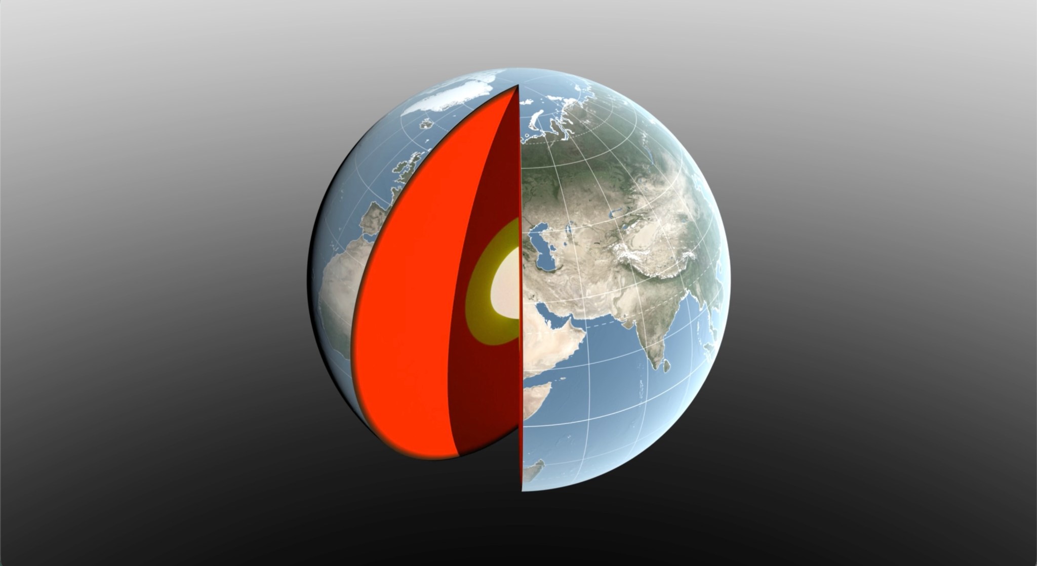
Seasonal changes redistribute enough water around Earth to shift the planet’s center of mass back and forth by fractions of an inch relative to its geometric center. NASA scientists are on the case, tracking the oscillations because Earth’s center of mass is a crucial reference point for satellite navigation and elevation measurements.
A team, led by NASA’s Jet Propulsion Laboratory in Southern California, has proposed a way to calculate the seasonal swings with extreme precision. The technique and findings are detailed in a new study published in Geophysical Journal International. The authors paint a vivid picture of springtime thaws, churning oceans, and dense winter air shifting massive surface loads from season to season.
The study isn’t the first attempt to pin down Earth’s center of mass. Scientists over the decades have pioneered several space-based techniques to define and locate it. But it’s a moving goalpost. If Earth were a hard blue marble, its center of mass would simply overlap its geometric center. In reality, the planet is sloshing and sagging under the weight of water, ice, and air. Because of this, Earth’s center of mass continually swivels around its geometric center by as much as several millimeters.
To view this video please enable JavaScript, and consider upgrading to a web browser that
supports HTML5 video
How accurate are existing methods to measure the size of the swivel? The last two international estimates, made in 2017 and 2023, differ by 0.27 inches (7 millimeters), about the height of three stacked nickels. The difference is almost as large as the motion itself.
To reduce uncertainty, JPL geoscientist Donald Argus led the development of a new technique based on ultraprecise satellite tracking.
Driven by gravity, satellites naturally orbit Earth’s center of mass, as if bound by invisible tethers. Tiny changes in the distance between satellites and ground stations reflect Earth’s shifting center of mass.
Using satellites to locate Earth’s center of mass is not a new idea. In fact, dense metal satellites, launched in 1976 and 1992, are dedicated exclusively to this purpose. Resembling 900-pound (408-kilogram) disco balls, both Laser Geodynamics Satellites (LAGEOS 1 and 2) are studded with reflective prisms and tracked with laser precision via ground stations globally distributed across more than 20 countries.
However, one limitation of satellite laser ranging is the uneven distribution of ground stations around Earth. The new technique improves accuracy in two ways: It adds GPS tracking into the mix along with orbital data from several satellites in low Earth orbit to provide a diverse array of targets. And it considers how the weight of water and ice deforms Earth’s crust, taking ground stations along for the ride.
The technique was developed by Argus along with researchers from JPL’s satellite orbit determination team, the University of Nevada, University of Montana, and the Helmholtz Centre for Geosciences in Germany.