// BBC UK NEWS — CRONACA
New thunderstorm warnings for parts of UK as rain set to continue
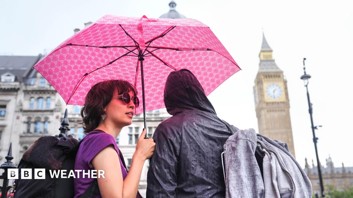
The Met Office has issued fresh warnings for thunderstorms that will bring more wet weather to parts of the UK on Thursday.
The first warning is valid from 02:00 BST with thunder and heavy rain due to move across south-east England in the early hours of Thursday morning.
A second comes into force at 06:00 BST for a wider area of England and Wales. This will last through to 22:00 and may become slow moving in the afternoon and evening.
Downpours could bring localised flash flooding and travel disruption - with the wettest areas potentially seeing 75mm (3in) of rain. Large hail, lightning and gusty winds could accompany the showers and it will feel rather humid for many.
Spells of rain are set to continue over the weekend - a bank holiday for England, Wales and Northern Ireland - accompanied by windy conditions in the south.
The Met Office issued new warnings for thunderstorms on Wednesday evening. Flooding and travel disruption are possible in the yellow warning areas
Thursday morning will get off to a wet start in southern England and south Wales, with heavy downpours accompanied by lightning, hail and squally winds.
These will then move north across mid and north Wales, the Midlands and parts of eastern England, arriving in northern England during the early afternoon.
As this initial line of downpours clears northwards the skies will brighten and sunny spells will develop, but further scattered showers that could again be very heavy and thundery are possible.
Some rain is likely to arrive in Northern Ireland and Scotland later in the day, although these northern areas of the UK are likely to avoid the very wettest weather.