// BBC UK NEWS — CRONACA
Heavy showers and thunderstorms bring risk of flash flooding to UK
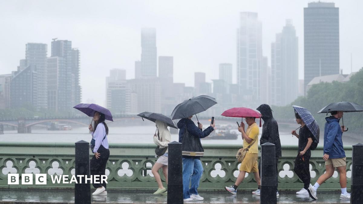
Wet weather is forecast for parts of the UK following a summer of record-breaking heatwaves and widespread drought.
Although heavy showers are expected for many, the places across England and Wales most in need of significant rain may not see much of it in the coming days.
Most of the showers will fall across parts of north-west England, Northern Ireland and southern Scotland, with some parts of south-east England staying dry.
Where the heaviest showers do fall, there is a risk of hail, lightning and the potential for flash flooding.
Tuesday will start wet across many northern and central parts of the UK. Scotland and Northern Ireland will stay showery through much of the day, with some longer spells of rain across northeast Scotland and the Northern Isles.
Further south, a cold front will bring cloud and some spots of light rain to parts of southern England and Wales early on, though some areas may stay entirely dry.
By Wednesday, an area of low pressure will bring sunny spells and frequent showers across north-west England, Northern Ireland and southern Scotland.
Some of these showers will become heavy and thundery but south-east England will stay largely dry.
On Thursday, the showers will become more widespread as low pressure drifts southwards across the UK.
Widespread showers and thunderstorms will affect some areas of the UK that have not seen significant rain for a period of days with the potential to cause flash flooding