// BBC UK NEWS — CRONACA
Downpours to continue for UK with risk of flash flooding
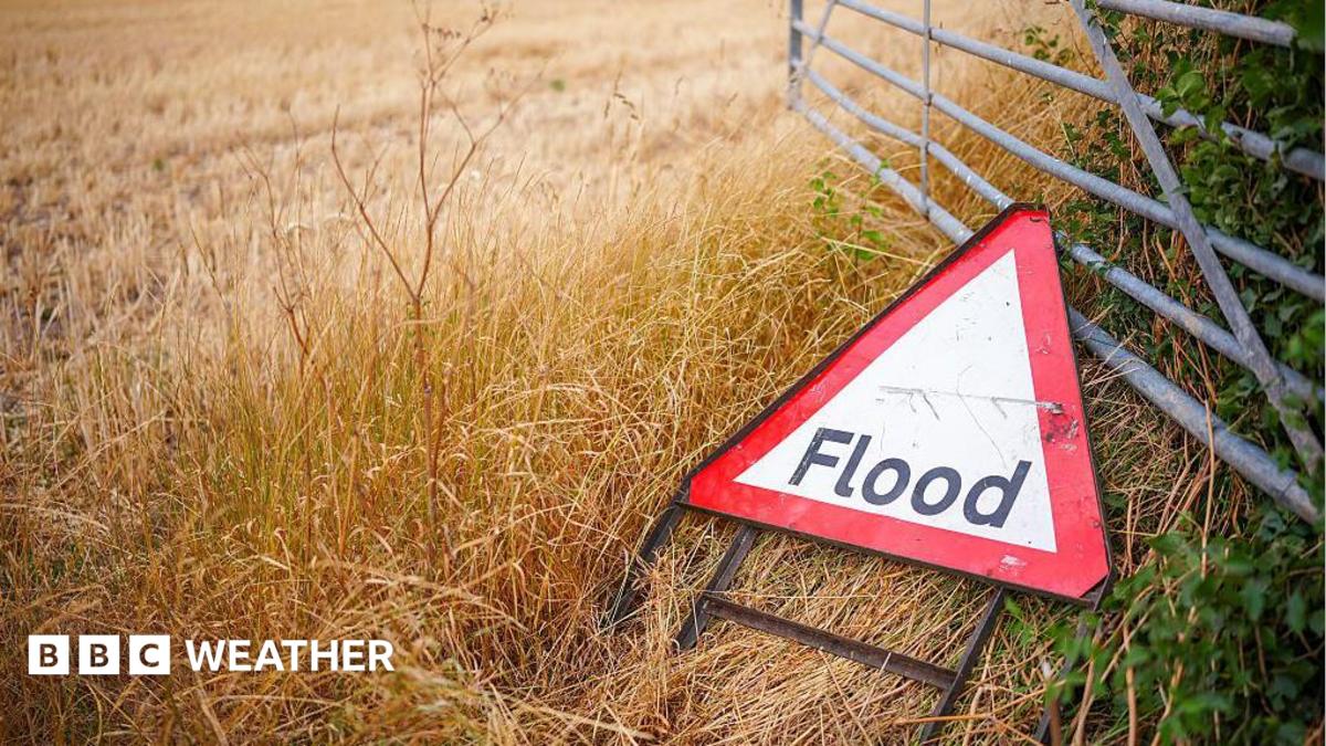
Heavy showers and thunderstorms will continue to affect large swathes of the UK on Thursday, bringing the threat of flooding and travel disruption.
A Met Office yellow thunderstorm warning remains in force across northern England and north Wales until 10:00 BST on Thursday.
The downpours will drift southwards and eastwards during the day, affecting other parts of Wales, the Midlands, East Anglia and southern England.
Drivers are being warned that the return to wet weather could lead to slippery conditions as well as the risk of flooded roads.
Temperatures are also forecast to drop with some places expected to remain below the August average over the next few days.
After a summer that has largely been dominated by high pressure, low pressure has now taken control.
Unstable air underneath the low has allowed big storm clouds to develop, capable of delivering torrential downpours accompanied by hail and thunder.
During Thursday morning, northern England and north Wales will bear the brunt of the thunderstorms.
The Met Office yellow warning for thunderstorms remains in force until 10:00 BST
Within the Met Office yellow warning area, 15-20mm of rain could fall in just an hour, with 30-50mm possible in a six hour period.